CarryMap Builder features
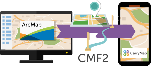
Extension to ArcGIS Desktop for creating mobile maps for further offline use on iOS, Android, and Windows devices.
All native ArcGIS data preserved
Mobile maps can be easily created from
any ArcGIS document preserving all source map
properties including symbology,
attributes, and attachments.
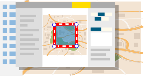
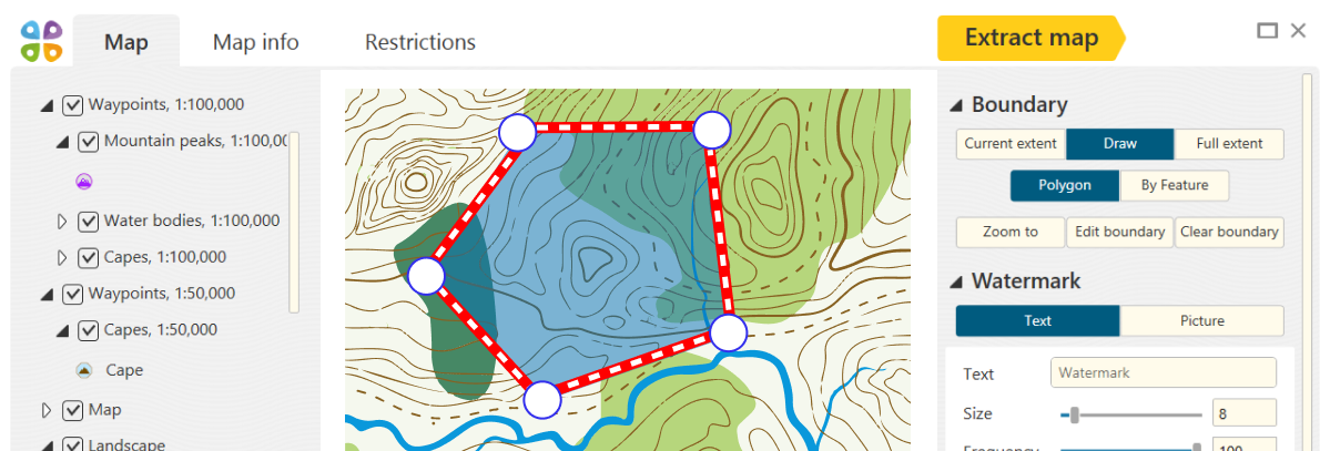
Extended map extraction options
Before exporting ArcGIS project to mobile map, you can configure map settings: select layers for export, specify map extraction boundaries, add an information about publisher and watermarks to make your mobile map recognizable and personalized.
All your data protected
Select one or all available options to protect your mobile map
from unpermitted access: set password, map availability start
and end dates, specify list of devices authorized
for work with the map,
add watermarks.

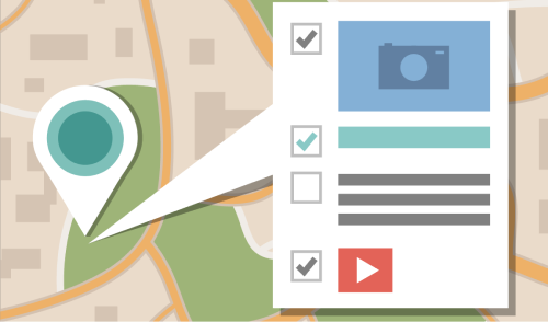
Extended identification options
While preparing for export you can set identification templates so that your users can get visual information about features selecting them on the mobile map. Use predefined identification templates or create your own ones in which you can add text, photo, video and other multimedia files.
Setting custom search on map
With the customize map search option you can narrow search area of features on the mobile map: select the fields by which you want to perform search or make them unavailable for search. Upon extraction completion open the output map in the CarryMap app and search necessary features offline by entering your search text or numeric request by their attributes.

Support for vector and raster layers
All vector and raster layers of your ArcGIS map can be exported to mobile map. Work with big raster data including satellite images and aerophoto, set their compressive ratio for getting relevant size of output file of your mobile map preserving all attributes of the high data resolution.
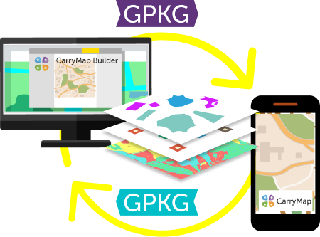
Data exchange in open GeoPackage format
Your ArcGIS layers can be exported to open GeoPackage format that you can use as data collection templates or data exchange with users in the CarryMap mobile application. Collected data as GeoPackage files can be imported back to ArcGIS for storage and further work with them in the office.

Support for geoprocessing data
Only ArcMap users with Corporate and Global CarryMap Builder licenses can take an advantage of support for geoprocessing data to create and update maps in automatic mode. Run tools from dialog boxes, embed and use in models.